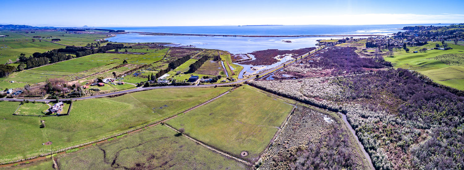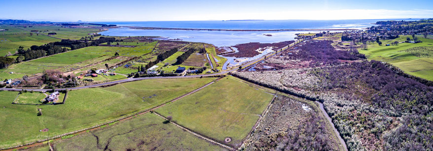

 The lower Kaituna Plains (which includes parts of the Waitepuia catchment) were typical of most lowland areas and had natural wetlands (the largest wetland known as the Kawa Swamp ~ 6500ha), streams and large rivers. The majority of wetlands in this sub-catchment have been lost due to land drainage and agricultural development within the Lower Kaituna Wildlife Management Area (LKWMA). Some remnant wetlands of the once vast Kawa Swamp still remain, including Te Pourepo o Kaituna Wetland (in Ford Rd sub-catchment) and Whakapoukorero Wetland (in Waitepuia sub-catchment).
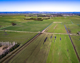
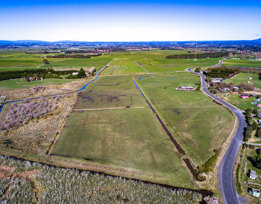 Small lateral drains were dug throughout the Kaituna Plains to help drain the waterlogged soil and allow agricultural development. This had the effect of converting lowland swamps into a series of modified stream channels. Of the 270km of waterways that flow in this area only about 20 km are relatively unmodified which have been contained between large stop banks to minimise flooding. The remaining waterways have been highly modified and straightened to drains.
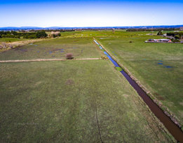 The Kaituna Drainage Scheme has roughly 30-35kms of canals and drains and three pump stations in this sub-catchment, which are used to reduce flood impacts for low-lying landowners who pay a targeted rate within this scheme area.