- Status: The weather is looking good and there are no risks of severe weather in the immediate forecast.
- Action: Members of the flood team (including engineers, rivers and drainage operations, planning and communications) continue their day jobs as part of their everyday mahi at Regional Council. A Regional Council Duty Flood Manager is on call 24 hours a day, maintaining an overview of river levels, weather patterns and forecasts affecting the Bay of Plenty.
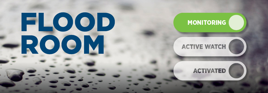
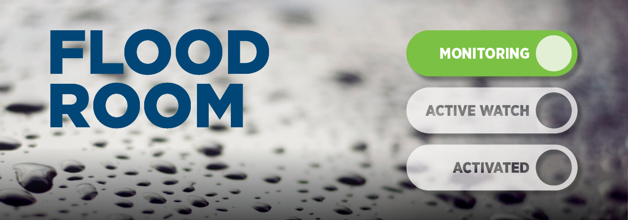
Flood Room
We provide real-time information to our partners, and co-ordinate the monitoring of flood defences, to support the resilience of communities in the Bay of Plenty.
Want to know the river levels or rainfall near you, or how to be prepared for a flood event? Visit our Flood Hub.
What is a Flood Room?
The Flood Room is our dedicated ‘operations hub’, designed to support our flood team, so they can be effective and efficient when it comes to gathering and sending out timely information.
During a flood, weather events or even periods of heavy rain, the Regional Council flood team supports a range of agencies (such as emergency services and local councils) with real-time environmental information (such as rainfall data and river levels) that can assist with their planning and response with local communities.
We also have teams in the field, who are inspecting and maintaining the integrity of our flood defences in our rivers and drainage schemes.
The first Regional Council Flood Room was opened in 1995 in Whakatāne. The Flood Room was upgraded in 2020 with investment made into better monitoring and reporting systems, enabling the team to be more responsive to weather events.
Watch this short video to see the Flood Room in action:
How does the Flood Room work?
The Flood Room operates in three modes: ‘Monitoring’, ‘Active Watch’ and ‘Activated’.
- Status: MetService has issued weather warnings and the weather forecast could impact the community.
- Action: A Regional Council Duty Flood Manager is on call 24 hours a day, maintaining an overview of river levels, weather patterns and forecasts affecting the Bay of Plenty. He/she will closely monitor the weather situation, the flood forecasts, environmental data and provide real-time information to supporting agencies (such as local councils and Waka Kotahi) to assist with their planning and responding to their communities. The Duty Flood Manager will receive assistance from the wider Flood Team as necessary depending on the severity of the flood event.
- Status: The weather is severe and there is a high risk of flooding and other natural hazards.
- Action: The flood team is set up in the Flood Room and the operations team are helping in the field to check flood defences.
What do we do?
We have flood forecasting models that take the MetService weather forecasts and convert that into river flows. We then assess the impacts of those flows. We also have an extensive monitoring network that is regularly watching environmental data (such as river levels, rainfall, wave height etc).
We gather and monitor all this information coming in. We then analyse and distribute this data to local agencies, who can use this to make informed decisions about how they support the community.
We will also communicate this directly to communities in low-lying areas as part of our flood warning list.
How can we help you?
Flooding is the most common natural hazard in Aotearoa, with a major flood event occurring on average every eight months.
As the climate changes, communities across New Zealand are adapting to meet the challenges of a rising sea level and more frequent, more significant rain events that may cause flooding.
Understanding what’s happening in our backyard is a critical part of how we can help communities become resilient in the face of climate change. We have created a Flood Hub with local information, national advice and useful contacts in an emergency.