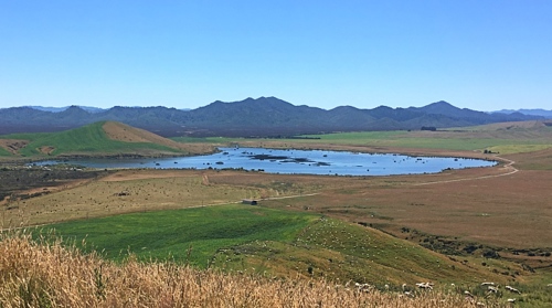
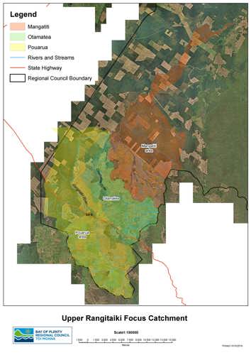
 The Upper Rangitāiki catchment begins with the headwaters of the Rangitāiki River, 42 kilometres east of Taupō.
Primary production, including forestry and various farming activities accounts for 90 percent of land use in the area, and is the lifeblood of many local communities and livelihoods. However, this land use needs careful management, to reverse the resulting impacts on waterway and wildlife health that are becoming visible as:
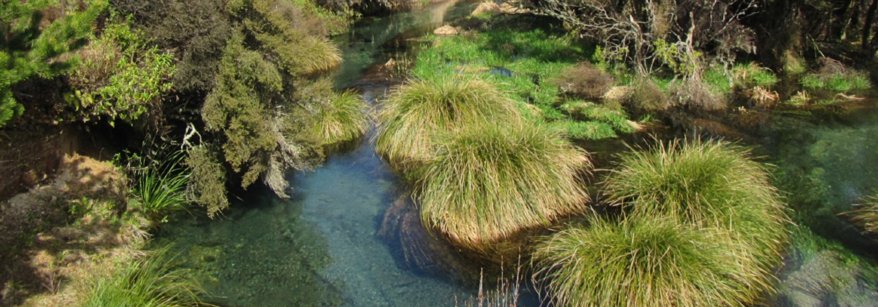
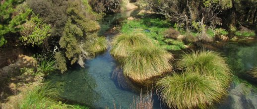
- high nitrogen (N) concentrations in the Otamatea Stream and rising concentrations in the Rangitāiki River – excess N promotes slime and algae growth in waterways and at very high levels can be toxic to aquatic life.
- wilding pine spread across frost flats that is displacing threatened species, and changing the landscape.
- gully and streambank erosion which releases sediment and phosphorous (P) into waterways; affecting water clarity, temperature and also promoting slime and algae growth.