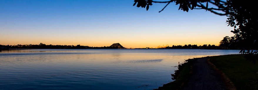
About the region
The Bay of Plenty region is on the east coast of the North Island of New Zealand.
The region takes in the full sweep of the coastline from Pōtikirua in the east, to Waihī beach in the west, and includes 18 offshore islands extending out to the 12 mile nautical boundary. The area of the region is 21,837 square kilometres comprising 12,254 square kilometres of land and 9,583 square kilometres of coastal marine area. Inland, the region extends generally to the ridges of the catchments which drain into the Bay of Plenty. The eight major rivers emptying into the Bay are the Wairoa, Kaituna, Tarawera, Rangitāiki, Whakatāne, Waioeka, Mōtū and the Raukōkore.
Prominent features of the region include islands such as Matakana, Mayor (Tūhua), Mōtītī and an active volcano Whakaari / White Island, which is part of the Taupo Volcanic Zone. Other distinctive landmarks include Mauao (Mt Maunganui), Mt Tarawera and Mt Pūtauaki (Mt Edgecumbe), the Tauranga and Ōhiwa Harbours and the lakes of the Rotorua district. There also five other major estuaries - Maketū, Little Waihī, Whakatāne, Waiotahe and Waioeka / Otara estuaries.
Our People
There are an estimated 334,140 people living in the region according to the 2023 Census. The Bay of Plenty has a rich cultural dynamic, with 32.9% of the population of Māori descent and 8% identified as an ethnic group other than New Zealand European or Māori.
Māori are key partners, stakeholders and members of our community with 36 iwi, approximately 260 hapū and 180 marae, therefore building and maintaining relationships with these groups is an important part of Council's role.
We want to make sure our region grows and develops in a way that keeps its values safe for future generations, Thriving together – mō te taiao, mō ngā tāngata.