There are lots of great resources online around preparing for dry weather. Here are some links to help you get prepared:
Weather updates
- MetService - Te Ratonga Tirorangi - (weather updates and warnings)
- Seasonal Climate Outlook for December 2023 - February 2024 | NIWA (climate outlook for 2023/2024 Summer)
Urban information
- Reducing water use at home - (how to create a ‘smarter’ home)
- Storing water — Get Ready — Emergency preparedness in New Zealand - (emergency management at home)
- A guide to bore water problems and maintenance(PDF 289.8KB) (advice about what to do if your bore’s gone dry)
Rural support
- Preparing for El Niño (mpi.govt.nz) - (factsheet about getting prepared and key contacts)
- Dealing with drought conditions | NZ Government (mpi.govt.nz) – (Forecasting tools and key contacts)
- Drought resources | Beef + Lamb New Zealand (beeflambnz.com) – (Toolkit for dry weather and animal management)
- Smart water use for dairy farmers - (tips for efficient water use)
- Adverse Events (fedfarm.org.nz) – (Federated Farmers role and the support they offer)
- Animals in emergencies | NZ Government (mpi.govt.nz) – (tips for looking after animals in emergency events)
- Reasonable stock water guidelines – (Guidelines for resources consent applications)
Financial assistance
Farmers and rural landowners can also get in touch with Bay of Plenty Rural Support Trust or Bay of Plenty Federated Farmers for advice and support.


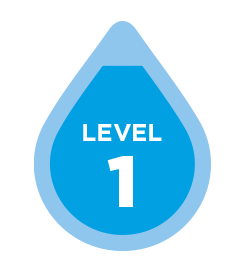
 Whole of the Bay of Plenty – Level 0


