Skip to main content Skip to footer
Menu
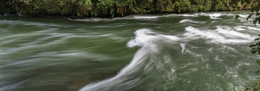
Water running in the river Water running in the river

Water allocation

Resource consents allow for groundwater or surface water to be allocated amongst different users.

Water take consents can be issued for any purpose (unless it is a prohibited activity) but will only be granted if the water use is efficient and will not have a significant environmental or cultural impact.

Council is required by law to accept and process a complete consent application for any kind of water use. Each consent application is assessed and considered on a case-by-case, and first in-first served basis.

We currently manage more than 1,200 active resource consents to take and use water in the Bay of Plenty. These include for drinking water, electricity generation or industrial use, horticulture, and agriculture. Numerous consents are held for municipal water supply and some are held by water bottling companies. 

Irrigation NZ have issued some advice for irrigators to help them manage their water use during dry conditions

Council’s Regional Natural Resources Plan informs water allocation in the region. The online groundwater accounting tool is based on a percentage of average annual aquifer recharge. Council also has a scientific monitoring and modelling programme in place to improve our understanding of recharge rates and water use impacts, including on connected surface water bodies. 

Our groundwater monitoring network currently includes 54 water level monitoring bores and 22 bores that we collect water quality data from. We monitor rainfall and people’s consented use of groundwater and surface water.

Check out our indicative groundwater accounting tool.

Surface water is all the water we can see including: rivers, streams, lakes, drainage channels, ponds, springs, and wetlands.

Our scientists identify low flows for waterways. They are calculated from continuous and manual monitoring.

Currently 90 percent of the low flow (that has a 20 percent chance of occurring each year) is protected to support natural processes, leaving 10 percent of that amount available for people to use. High flows, may also be available for people to take.

The Assessment of surface water availability and estimates of current allocation levels October 2016 (PDF 13.73MB)  provides surface water consent allocation data that was the best known available information at the time of publication (this report is being updated in 2022). As new water is allocated or existing consents expire and are not renewed, that data will become out of date. Over time there may also be revised estimates of flow as more monitoring data is collected.

All new consent holders are required to accurately measure and report on their actual fresh water use. 

National Resource Management (Measurement and Reporting of Water Takes) Amendment Regulations 2020, require that daily water use data must be submitted electronically:

  • for all takes >20L/s by 3 September 2022
  • for all takes of 10-20L/s by 3 September 2024
  • for all takes of 5-10L/sec by 3 September 2026.

Water metering means we have accurate data to use when managing the region's water resource.

Encompassing ground, surface water monitoring and mechanisms, matauranga Māori, geothermal, planning consents and iwi Māori.