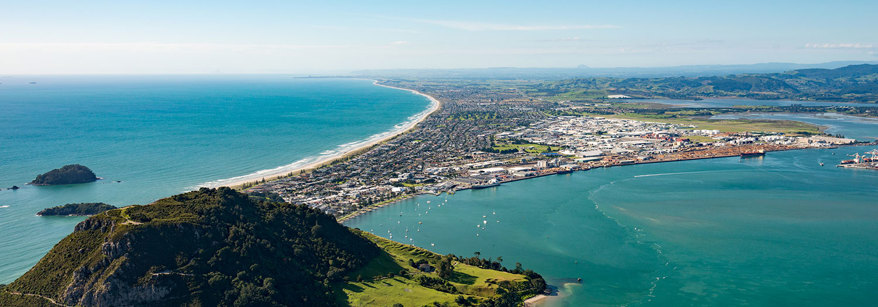
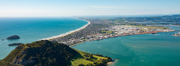
The Bay of Plenty coastline extends east from Orokawa Bay (east of Waihī) toward East Cape ending near Lottin Point. Along the coast there are two large harbours, Tauranga and Ōhiwa, a number of estuaries and 10 major rivers.
Nearly all of the coastal marine area in our region is common marine and coastal area meaning it is not owned by any individual or organisation.
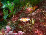
The region is a hotspot for marine biodiversity in New Zealand and has a wide range of coastal habitats including estuaries, brackish water lagoons, open sandy beaches, offshore islands and an active volcano.
Offshore islands, such as Astrolabe Reef (Otaiti), White Island (Whakaari) and Mayor Island (Tūhua) are exposed to both warm and cold ocean currents. Their unique location and volcanic origin supports a rich diversity of marine plants and animals.
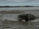
Estuaries in the Bay of Plenty such as Tauranga Harbour (one of New Zealand’s largest estuaries) are important productive ecosystems. Habitats in and around our estuaries include freshwater wetlands, saltmarsh, mangroves, seagrass, sand and mud flats, rocky reefs and tidal channels.
Sand dunes line the coast from Waihī Beach to Ōpape, broken occasionally by river and harbour mouths, volcanic landforms and rocky headlands. East of Ōpape, the landscape changes to steep and rugged rocky headlands and long gravel beaches. Marine terraces are found east of Raukōkore.

