Consent reference flow table
We have introduced a new way for water take consent holders to help them ensure they are complying with their resource consent conditions.
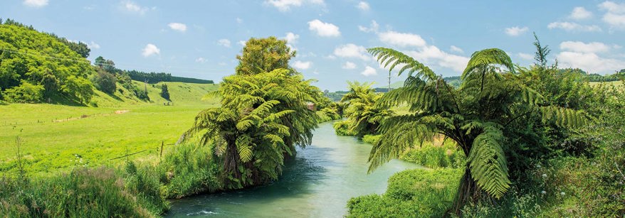
Bay of Plenty Regional Council measures water flows at key sites across the rohe (region) and sets a standardised flow that is used as a reference for consent purposes – this is called the reference flow.
For rivers that have a natural flow regime the reference flow will stand for 24 hours each day from midnight, with the following days reference flow set by 5pm.
For rivers that have a non-natural flow regime (e.g. ones that have their flow affected by a man-made structure such as a dam or control gates), a reference flow will be provided at sub-daily intervals and it is the consent holder's responsibility to check the current assigned flow as needed throughout the day.
This new tool will make complying with water take consents easier for consent holders and will also help us at Toi Moana Bay of Plenty Regional Council uphold the principles of Te Mana o te Wai.
Before we introduced this new tool, it was the consent holder’s responsibility to monitor water flow during all times of the day that they were taking water to ensure they were complying with their resource consent. Now a consent holder only needs to check the reference flow set by council once each day for natural rivers, or at defined intervals if the flow is affected by a man-made structure to make sure they are complying.
Those using water from a river with a natural flow regime will be advised of the next day’s reference flow by 5pm. This means water users can plan ahead for the following day by adjusting their operations or equipment like pumps and irrigation systems.
Use the reference flow in the table below to find reference flows for water takes or discharge that are related to conditions in a consent you hold.
What is a reference flow?
A reference flow may form part of your consent conditions and is used to manage the impact of a consent under the principles of Te mana o te Wai.
The reference flow is a representative flow statistic established from telemetered river flow sites, manual river flow measurements or derived flows.
Please note the current Reference flow will not always match the flows on the Environmental Data Portal because the reference flow statistic is derived from part or all of the preceding 24-hour period.
Reference Flow Table
Please use the Reference Flow table to find reference flows for water takes or discharge that are related to conditions in a consent you hold.
It is your responsibility to understand the minimum flow conditions imposed under your consent and implement required actions or restrictions based upon the supplied reference flows.
Only information from this table should be used for consented water take or discharge purposes. Information from our Environmental Data Portal page should not be used nor should information published in newspapers.
How does the Reference Flow Table work?
Flow information for the current period is shown in the “Current Reference Flow” column.
For rivers with a natural flow regime, information for the following day will become available at by 5pm. This will be displayed in the “Tomorrow's Reference Flow column”. This allows the consent holder a period of time to plan for the following day.
Flow information in “Tomorrow's Reference Flow column” will become “Current Reference Flow” at the start of each day.
If the “Tomorrow's Reference Flow column” has “N/A” then it’s the consent holder's responsibility to check the current assigned flow at a frequency informed within the note attached to the site name.
A yellow colouration to the row indicates a reference flow less than the defined management flow and a red colouration to the row indicates a flow less than the defined minimum flow.
Reference Flow Table
Table glossary
Reference site - The name of the reference site. This will be the name as listed in the consent.
Management Band - The water take or discharge band referenced in your consent conditions. These bands will cover different parts of the flow range that occurs in the waterbody.
Management Flow - The Management Flow trigger level is the flow at which a restriction will apply. For example, if a water take is required to restrict their usage when the river flow drops below 5.0 m³/s, the trigger level will be 5.0 m³/s.
Minimum Flow - The Minimum Flow trigger level is the flow at which a take or discharge must cease. For example, if a water take is required to cease when the river flow drops below 5.0 m³/s, the trigger level will be 5.0 m³/s.
Current Reference Flow - The reference flow in use from 00:00 to 23:59 of the current day.
Tomorrow’s Reference Flow - The reference flow that will be in use from 00:00 to 23:59 tomorrow. A dash indicates Tomorrow’s flow data is not yet available.