Skip to main content Skip to footer
Menu
rangitaiki river rangitaiki river

State of the Environment

Bay of Plenty Regional Council regularly monitors the state of our local environment to have our finger on the pulse with what’s happening above and below ground in our rohe.

By capturing and interpreting data, we can plan, protect and sustainably manage our natural resources so our communities can thrive.

Why do we do this?

Our Mahere Taiao Science plan for 2020-2023 is centred around Te Hononga o ngā Mātauranga, the joining of knowledge.

The Plan is a tool to help guide us in providing high-quality science support, ensuring decisions are made based on reliable and up-to-date science. It also improves the visibility of science and research being undertaken and highlights current priorities.

What do we do?

We take a holistic approach, ki uta ki tai (mountains to sea), as everything in our environment is interconnected. What affects one aspect of the taiao (environment) will have an impact in other areas. Nothing was meant to live in isolation, and so, the mauri (life force) of everything that exists in the taiao is all relative.

Māori understood tohu (signs) given by the whenua (land), to enable the protection of our natural resources. If the land and the water is healthy, so too will the people be.

We have developed a framework for our monitoring work using whakapapa. Whakapapa means to place “layer upon layer” – it derives from papa, anything broad and flat, and from whaka - a prefix that enables something to occur. It demonstrates interconnectivity between everything placing humans in an environmental context with all other flora, fauna and natural resources.

View our monitoring activities in the whakapapa framework.


How do we do it?

We have more than 1700 monitoring sites around the region, which we regularly test at as part of the Natural Environment Regional Monitoring Network (NERMN).

Established in 1989, the NERMN is a key part of the science monitoring undertaken. It provides scientifically defensible information on important physical, chemical and biological characteristics of the natural resources of the region to support and inform the preparation of policies and plans, and the monitoring of their suitability and effectiveness.


We also have additional monitoring outside of this programme this is aimed at improving our understanding of the natural world and accessing the effect of human interaction with the environment, for example within our Focus Catchments.

Want to know more about the monitoring process? Find out what we test for and where:

How can we help you?

We are committed to making environmental data and information as accessible as possible to the community and we share our data in a few different ways.

  • Explore one of our areas of focus below. These reports have been divided into different levels of complexity, from full reports to summary snapshots.
  • View real-time data, such as rainfall, lake levels, water and air quality in our Environmental Data Portal.
  • You can access all our environmental publications on our publications page.

Can’t find what you’re looking for? Please get in touch with our team.

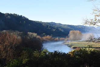
The number next to each document indicates the level of detail and complexity that it contains. This can help you find the right type of information to suit your needs.

X1 = a simple summary or regional snapshot giving a quick high-level overview of the quality of the region’s resources. These are updated at least annually and can either be for a single resource (e.g. air quality, water quality) or for all resources.

X2 = an integrated report with more detail. These reports cover most or all resources (e.g. water quality, soil health, estuary health).

X3 = Technical information often presented as educational factsheets or story maps so you can upskill and get informed. These are for a single resource (e.g. air quality, water quality) and summarise the reports in X4.

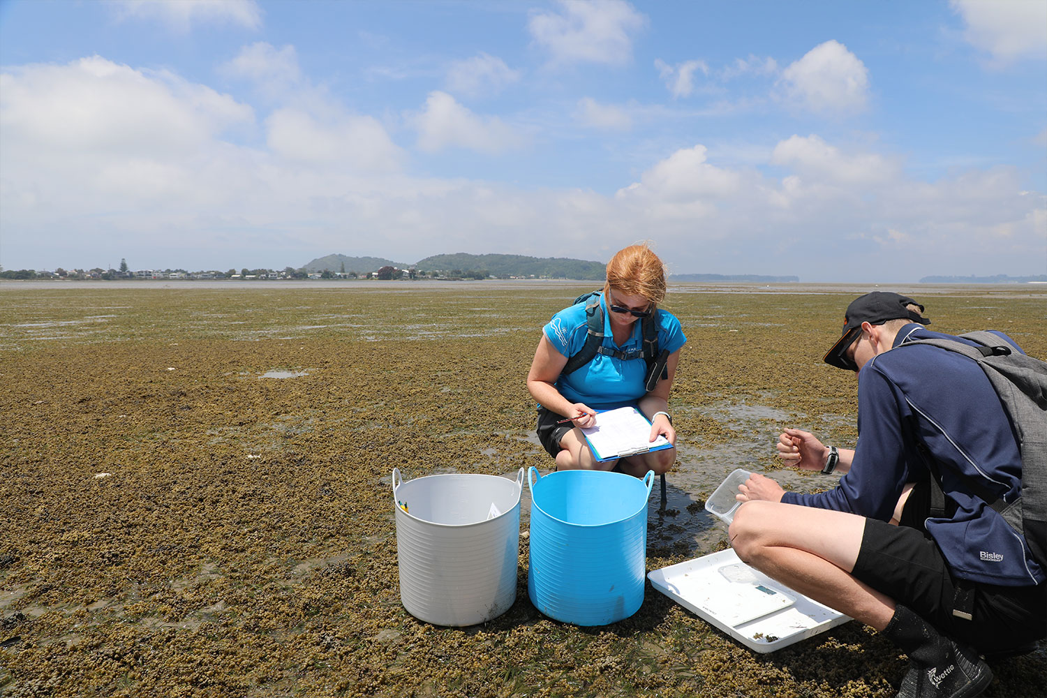
X4 = Detailed discipline-specific technical information which reports technical results and/or evidence. These will be particularly useful for specialists who seek detailed insights on complex data. These reports are updated when there is enough new data – this can often be up to 10 years depending on how quickly things change.

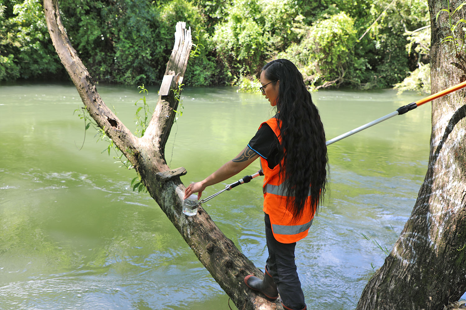
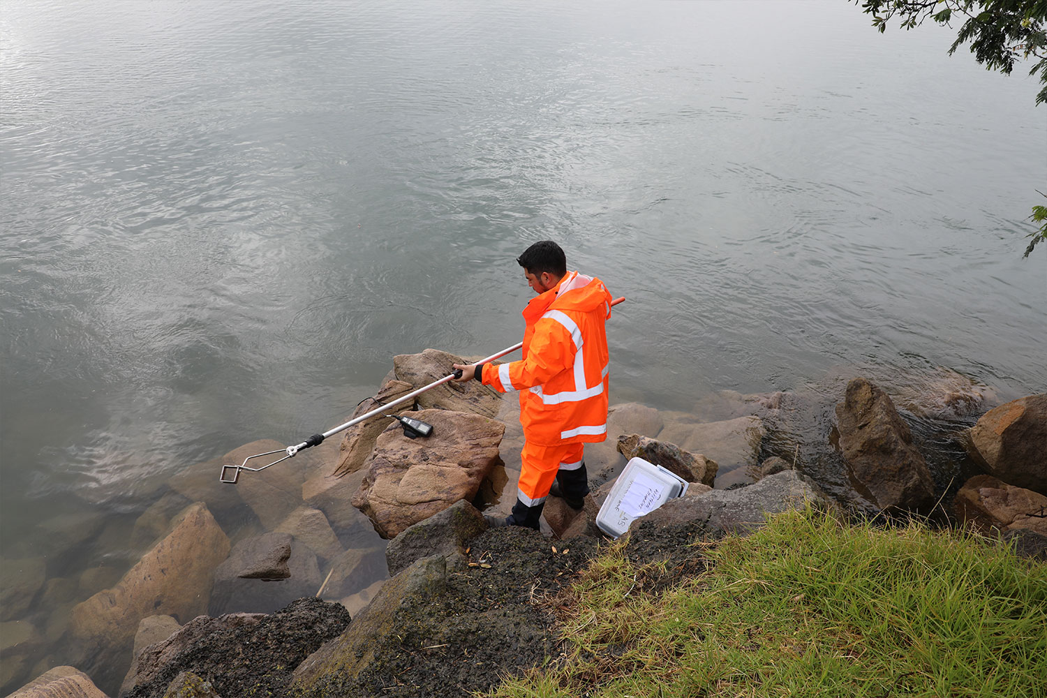
X5 = Data libraries that contain complete datasets of measurements from monitoring sites across the Bay of Plenty. Can be viewed as a continuous dataset or the date ranges can be customised to view specific events. All quality assured data is available for download.


If you have any questions about our environmental data, email us at info@boprc.govt.nz

Please note, this page contains only the most recent reports for our region. All previous versions are available on the publications page.

Tāwhirimatea: Winds and storms

The natural elements and sky impact our daily experiences from the air we breathe to the weather we feel. Wind is an example of matangaro, the concept of what we cannot see but know exists because we can feel it or see its impact, like the wind rustling leaves in a tree. Understanding matangaro means we can consider more indicators when looking at the state of our taiao (environment).

View our latest reports (in order of publication from newest to oldest):

Tāne: Forests and birds

Te Wao nui a Tāne is inclusive of all forests and birdlife. Pest eradication, and monitoring of the whenua will ensure the protection and preservation of our forests and birdlife.

View our latest reports (in order of publication from newest to oldest):

Tangaroa: Sea, rivers and lakes

Ko au ko te awa, ko te awa ko au signifies the intrinsic connection between the waterways and people. Many of our iwi marae are positioned for their access to waterways.  Wai (water), if cared for, sustains all life. Wai is one of our most precious resources and this rohe (region) is fortunate to have abundant sources such as springs, rivers, lakes and the sea.

View our latest reports (in order of publication from newest to oldest):

Rūaumoko: Earthquakes and volcanoes

Ngāwhā (geothermal springs) are a unique feature to the rohe of Te Moana o Toitehuatahi (Bay of Plenty). With the right mātauranga (knowledge), these can be cared for and utilised sustainably.

View our latest reports (in order of publication from newest to oldest):

Learn about our monitoring data in action: