Skip to main content Skip to footer
Menu
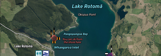
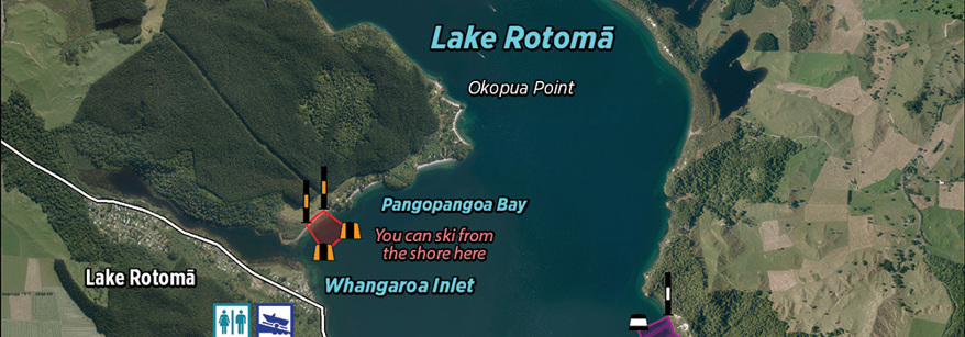
map of lake map of lake

Maps

Bay of Plenty Maps is a website that lets you access web maps and applications relating to local government in the Bay of Plenty. 

The maps are all interactive and include community, recreational and environmental information. Maps are added as they become available.

bay maps websiteBay of Plenty maps

Bay of Plenty Maps also has an open data portal which easily provides you with public data. This site is for those wishing to access some of the public facing Council spatial data for use in their own mapping projects.

Bay of Plenty Regional Council, Tauranga City Council, Western Bay of Plenty District Council and Whakatāne District Council have provided data for the maps on this site. The website and platform has been provided by BOPLASS Ltd – a Council Controlled Organisation (CCO). BOPLASS has been set up to foster shared services between local authorities in the Bay of Plenty and Gisborne.

bay explorer websiteBayExplorer

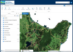
BayExplorer is the Council’s regional map viewer. While most of the applications on the Bay of Plenty Maps site are designed to display targeted information about a specific subject, BayExplorer provides a more generic view by allowing you to display a number of different layers in the same viewer.

Finding consents across the region

Use our consents mapping tool to locate consents across the Bay of Plenty and watch our guidance videos on the available functions.

The following conditions apply to the information provided by this web site. Visitors are advised to read and understand them before beginning their enquiries:

  1. Bay of Plenty Regional Council does not give any warranty that any information contained is accurate and does not accept any responsibility or liability for any action taken or omission made as a result of reading or reliance placed on the Council because of having read part or all of this web site or any linked sites or for any error or inadequacy in the information contained in this web site or any linked sites.
  2. Information contained in this web site cannot be used in legal disputes.
  3. All information must be verified independently.
  4. Bay of Plenty Regional Council does not invite any visitor to this web site to act or omit an action based upon any information within this web site. The use of any such information is entirely at the visitor's own risk and discretion.

The information contained in this web site is copyright Bay of Plenty Regional Council and all rights are reserved, unless stated otherwise. Information may only be used as permitted under the Copyright Act 1994. You may not republish any substantial part of the information without the prior written permission of Bay of Plenty Regional Council.

The official Council logo may not be copied or used without the written permission of the Council.

Digital cadastral data sourced from Land Information New Zealand. CROWN COPYRIGHT RESERVED.

© 2018 Bay of Plenty Regional Council

If you need additional information that is not provided by this website, you can obtain accurate information relating to legal title from Land Information New Zealand (LINZ). A surveyor can provide you with accurate information relating to property boundaries.