- Disturbing the bed of a river or lake (such as excavate, drill, erect a structure) or altering a wetland, geothermal surface feature or contaminated or potentially contaminated land
- Constructing or altering a well, bore, culvert, ford access across a waterway, bridge or stopbank.
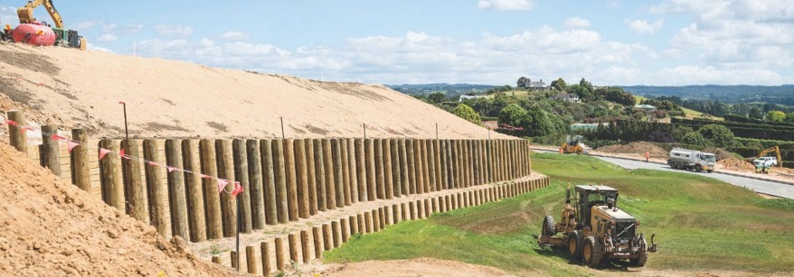
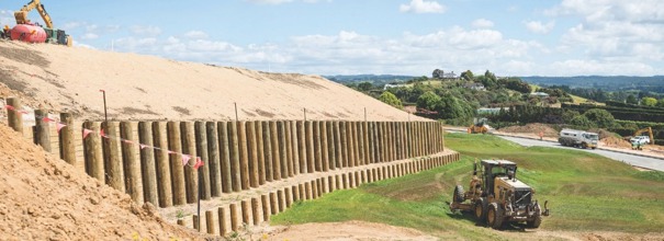
- Carry out earthworks, roading or tracking, mining or quarrying activities, soil cultivation or nutrient discharging
- Remove sand or gravel from the bed of a watercourse
- Plant or clear vegetation
- Land use change of more than 10ha from any form of farming to dairy farming
- Land use change of more than 10ha from forestry to any form of pastoral farming
- Increases in irrigated pasture for dairy farming above 10ha
- Increases in the area for winter forage cropping above the annual highest amount between 2014/15 and 2018/19
- Increases in dairy support activities above the annual highest amount between 2014/15 and 2018/19
- All feedlots that do not comply with permitted activity standards
- Structures in rivers that do not comply with permitted activity standards for fish passage
- Reclaiming rivers (applications must demonstrate there is no other option)
- Most earthworks in wetlands and rivers
- The clearance of vegetation, earthworks, drainage or taking, damming or diverting water from in and around a wetland (consent conditions will need to minimise and offset damage
- Farming activities which do not comply with the National Environmental Standards for Freshwater (intensive winter grazing, stock holding areas and conversions)
Do I need a resource consent?
Activities that don’t need a resource consent are classified as permitted activities in one of our regional plans or a national environmental standard.
Activities that require a resource consent are classed as controlled, restricted discretionary, discretionary or non-complying in one of our regional plans or a national environmental standard.
If you struggle to navigate around our Regional Plans and/or the National Environmental Standard, then contact the consents team and we can help you find the relevant rules.
Activities which require consent
We've listed examples of activities that may require a resource consent below. Sometimes an activity requires more than one resource consent. City and district councils also issue consents for some land uses and subdivisions.
Once you know what type of consent you require check out what application form you need to complete to get resource consent for that specific activity.
- Discharging a contaminant to land, water or air (for example, dairy shed effluent to land or dust/smoke to the air)
- Discharging water to land and/or water (for example stormwater).
- Landfill or cleanfill leachate
- Taking, using, damming and/or diverting water (for example, irrigation or stockwater).
Please refer to the Water Quality and Allocation Chapter of the Regional Natural Resources Plan for the Damming and Diversion Rules, to identify if the volumes and flows proposed to be dammed can be undertake as a permitted activity or if resource consent is required.
Alternatively, call a resource consent planner for advice on 0800 884 880, or send a query to Consents.Queries@boprc.govt.nz
Building Consents
Any dam that is classified as a large dam in accordance with the Building Act 2004 requires a building consent in addition to a resource consent for the damming of water.
A large dam means:
- A dam that has an artificial barrier at a height of 4 metres or more that holds back water; and
- Holds a volume of 20,000 or more cubic metres of water or other fluid.
Further information on the building consents requirements for large dams can be found on the Waikato Regional Council's website, or contact:
Owen Smith | Project Manager - Building Act | Resource Use Directorate Waikato Regional Council
P: +64 7 859 0786
M: 021 2249585
Private Bag 3038, Waikato Mail Centre, Hamilton 3240
See more information on water take consents.
- Disturbing the foreshore and/or seabed in the coastal marine area (zone between the line of the highest spring tide water mark and the twelve nautical mile limit). Examples include reclamation, structures, discharges.
- Occupying the coastal marine area.
Any structure where some part sits in, under or over the lake is considered a lake structure. Examples include boatsheds, jetties, boat ramps and retaining walls.
See more information on lake structure consents.