Skip to main content Skip to footer
Menu
Otangimoana Street upper Rangitaiki Otangimoana Street upper Rangitaiki

Upper Rangitaiki Catchment

We’re working together with landowners, iwi and the Rangitāiki River Forum to protect and improve water quality in the Rangitāiki River and the Pouarua, Otamatea and Mangatiti catchments that drain into it; so that local people and wildlife can thrive and enjoy healthy waterways for generations to come.

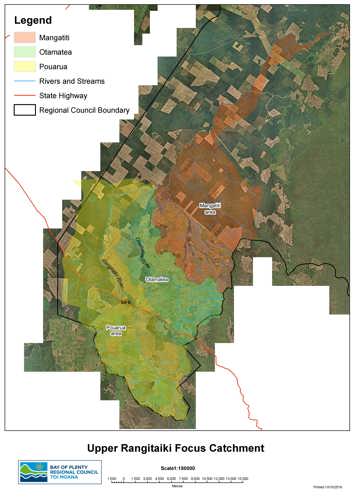
mapThe Upper Rangitāiki catchment begins with the headwaters of the Rangitāiki River, 42 kilometres east of Taupō.

It includes the Otamatea River, Otangimoana and Mangatiti Streams, and extends more than sixty kilometres downriver to where the Wheao River meets the Rangitāiki in the Kāingaroa forest.

For many hapū and iwi who belong to the Rangitāiki River, it is regarded as a tipuna (ancestor) and a giver of life that sustains the mauri (life force) of all within its embrace. 

Free-draining pumice is the dominant soil type in the catchment. This soil type is very vulnerable to erosion and allows nutrients or contaminants from land to drain through it quickly, into waterways.

Frost flats at the top of the catchment are a rare land-based habitat type found only in the Central Plateau, and most of them (77 percent) are in the Upper Rangitāiki catchment area.

These special natural areas support a unique range of rare native mosses, lichens and low shrubs; including some that are more than 100 years old. 

  • View a larger map of the Upper Rangitāiki Focus Catchment.

Primary production, including forestry and various farming activities accounts for 90 percent of land use in the area, and is the lifeblood of many local communities and livelihoods. However, this land use needs careful management, to reverse the resulting impacts on waterway and wildlife health that are becoming visible as:

  • high nitrogen (N) concentrations in the Otamatea Stream and rising concentrations in the Rangitāiki River – excess N promotes slime and algae growth in waterways and at very high levels can be toxic to aquatic life.
  • wilding pine spread across frost flats that is displacing threatened species, and changing the landscape.
  • gully and streambank erosion which releases sediment and phosphorous (P) into waterways; affecting water clarity, temperature and also promoting slime and algae growth.

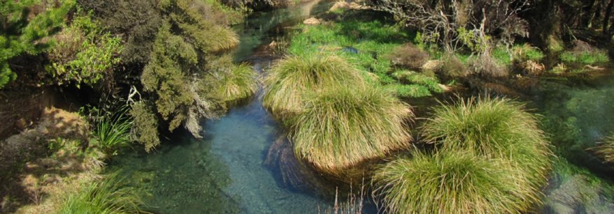
We’re investing extra science effort in this catchment; regularly collecting and testing water samples to help us assess how well efforts to improve water quality are working.

We’re also working with local landowners to assess nutrient losses, and to deliver practical on-the ground actions such as fencing, planting, and track management to reduce leaching and run-off losses from their land.

Landowners can take action now. Regional Council offers practical advice and funding subsidies to help landowners and community groups complete works that can improve water quality as well as land and business productivity.

Funded works can include fencing, planting, nutrient budgeting, farm planning, detention bunds, plant or animal pest control, treatment wetlands and many other activities. 

Find out more

For more information about our work and landowner assistance in the Upper Rangitāiki catchment, please contact Kendall Smith:
Kendal.Smith@boprc.govt.nz

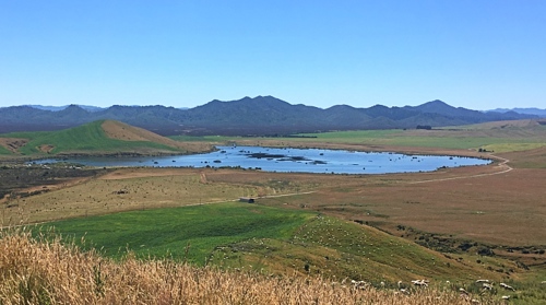
lake pouarua
Lake Pouarua