Rivers
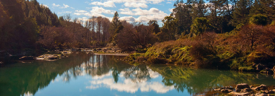
The Bay of Plenty region has 10 major awa (rivers) and hundreds of other rivers and streams that sustain our work, life and play.
More than 211,468 litres of water per second flows through Bay of Plenty's main rivers, streams and aquifers. Council regularly collects water quality and quantity information from 680 water monitoring sites across the region. Read about the river and drainage schemes.
Our major rivers
Rangitāiki River
The region’s longest river is the 155 kilometre long Rangitāiki River. Some of the mature female tuna (eels) that live in the Rangitāiki River were born more than 60 years ago.
Kaituna River
The Kaituna River is 50 kilometres long and runs from Lake Rotoiti to the Maketū Estuary. At seven metres tall, Tutea Falls on the upper Kaituna River is the world’s highest commercially rafted waterfall.
Wairoa River
The Wairoa River is approximately 14 kilometres long and it's the largest freshwater tributary into the Tauranga Harbour. Four power stations harness energy from the Wairoa River to generate hydro-electricity.
Whakatāne River
The Whakatāne River catchment covers more than 1,100 km2 and extends 112 km to its upper tributaries.
Tarawera River
The Tarawera River is thought to be fed by at least six lakes: Rotokakahi (Green Lake), Lake Ōkāreka, Lake Tikitapu (Blue Lake), Lake Ōkataina and Lake Rotomahana all flow into Lake Tarawera and into the Tarawera River via streams and springs.
Help care for your waterways
Everyone has a role to play in caring for the region’s rivers and other waterways. You can:
- Prevent and report pollution at work, home and play.
- Stop the spread of freshwater pests by cleaning water sports gear between waterways.
- Get involved in public consultation on council plan changes and budget decisions.
Kaituna River - Lakes to sea
Long Term Plan Rangitāiki River
Wairoa River